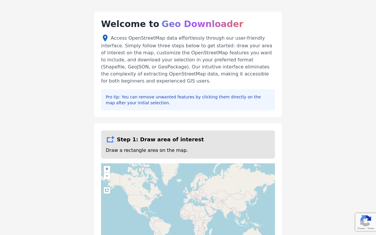
Geo Downloader - Download OSM Data
Visit SiteUnlocking Geospatial Data with Geospatial Data Downloader
Geospatial Data Downloader is a user-friendly online platform that enables effortless access to OpenStreetMap (OSM) data, making it accessible to both beginners and experienced GIS users. With its intuitive interface, this website simplifies the process of extracting OSM data, allowing users to easily download their preferred format.
Key Features
- User-Friendly Interface: The platform's simple and intuitive design eliminates complexity, making it easy for users to navigate and extract the required geospatial data.
- Step-by-Step Process: Users can follow a straightforward three-step process to get started: draw their area of interest on the map, customize OSM features, and download their selection in Shapefile, GeoJSON, or GeoPackage format.
- Customization Options: The platform allows users to personalize their data selection by removing unwanted features through a simple click on the map after initial selection.
- Data Updates: The website ensures that its OSM data remains up-to-date, with the latest updates reflected as of December 16, 2024.
Benefits
By utilizing Geospatial Data Downloader, users can:
- Simplify Geospatial Data Extraction: With its user-friendly interface and step-by-step process, the platform makes it easier for users to extract OSM data without requiring extensive technical expertise.
- Increase Efficiency: The customization options and ability to remove unwanted features save time and streamline the extraction process.
- Ensure Accurate Data: The website's commitment to keeping its OSM data up-to-date ensures that users have access to accurate and reliable geospatial information.
Conclusion
Geospatial Data Downloader is an indispensable resource for anyone looking to unlock the full potential of OpenStreetMap data. Its intuitive interface, customizable features, and commitment to accuracy make it an ideal tool for both beginners and experienced GIS users alike.
Related Tools

CalenPet
Your pet's care routines on autopilot!

GrowthCues - Your Autopilot for Product Growth
GrowthCues delivers product growth insights for your B2B SaaS team automatically. Understand what drives product growth without complex dashboards or...
Taim: Automated Time Tracking for Accurate Billing
Automated time tracking software for freelancers and teams. Track work hours effortlessly, improve billing accuracy, and boost productivity.